A laser measuring instrument is any tool that uses a laser beam to measure distance or position. Some record a single distance, some trace the outline of a room, and others capture every surface they can see as millions of points. In fact, the most useful way to tell them apart is by how many dimensions they measure: one, two or three.
This guide groups the main laser measuring instruments by that dimension. It explains what each one records, what you get out of it, and where 3D instruments add value compared with simpler 1D and 2D tools. As a result, you can match the instrument to the deliverable you actually need.
The main laser measuring instruments at a glance
| Instrument | Measures in | What it records | Typical output |
|---|---|---|---|
| Laser distance meter | 1D | One distance at a time, point to point | A number on a display or in an app |
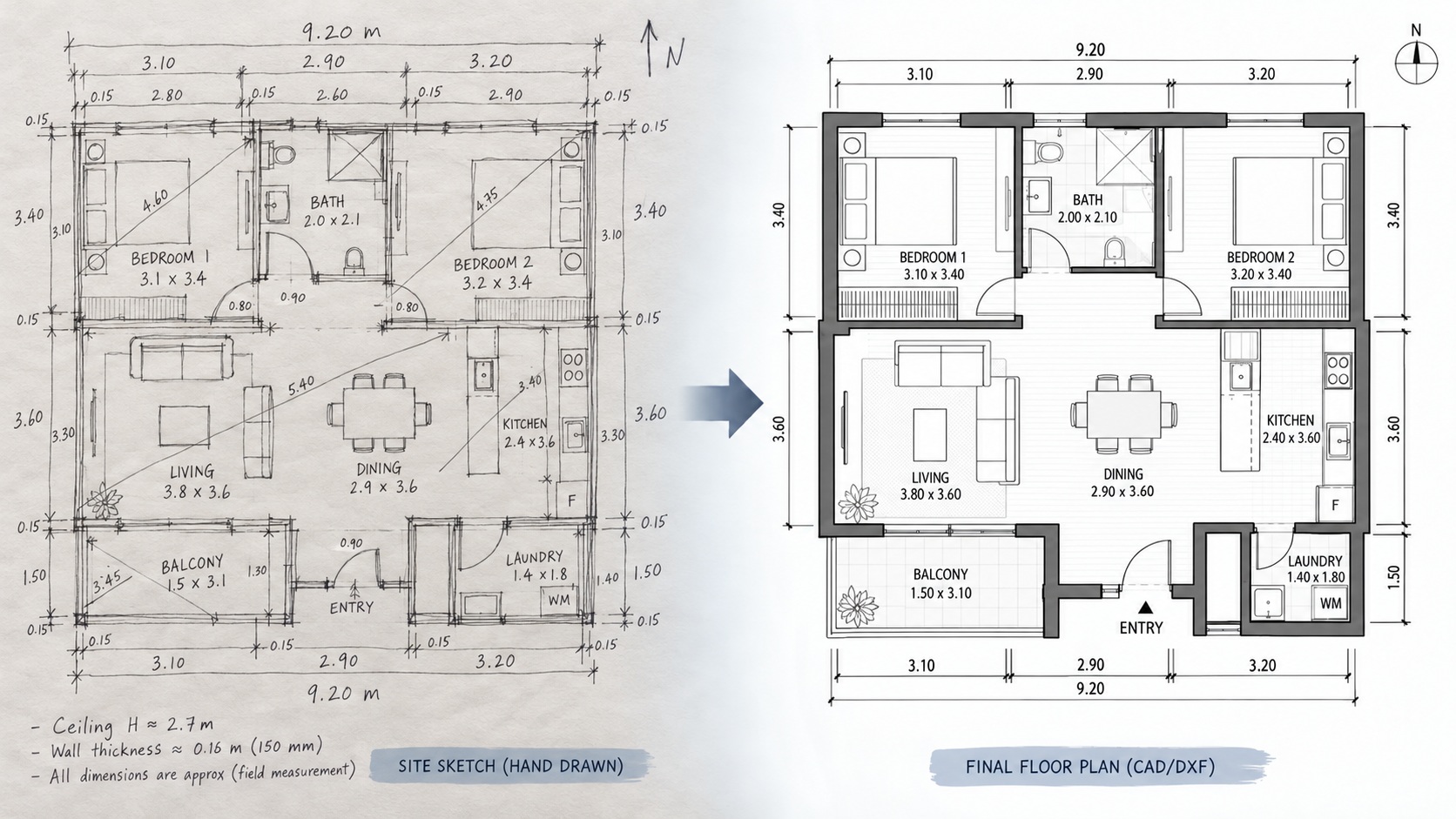
| 2D laser scanner | 2D | The outline of a room in one horizontal plane | A floor plan as DXF or coordinates |
| Terrestrial 3D laser scanner | 3D | Every visible surface from fixed tripod stations | A dense point cloud |
| Handheld or mobile 3D scanner | 3D | Surfaces captured while the operator walks | A point cloud, usually less dense |
| Phone or tablet LiDAR | 3D | An approximate model of a room at short range | A mesh or simple 3D model |
| Total station | 3D | Precise coordinates of individual chosen points | A list of surveyed points |
Laser levels and line lasers are often sold alongside these tools. However, they project a reference line rather than measure anything, so they appear separately at the end of this guide.
1D instruments: laser distance meters
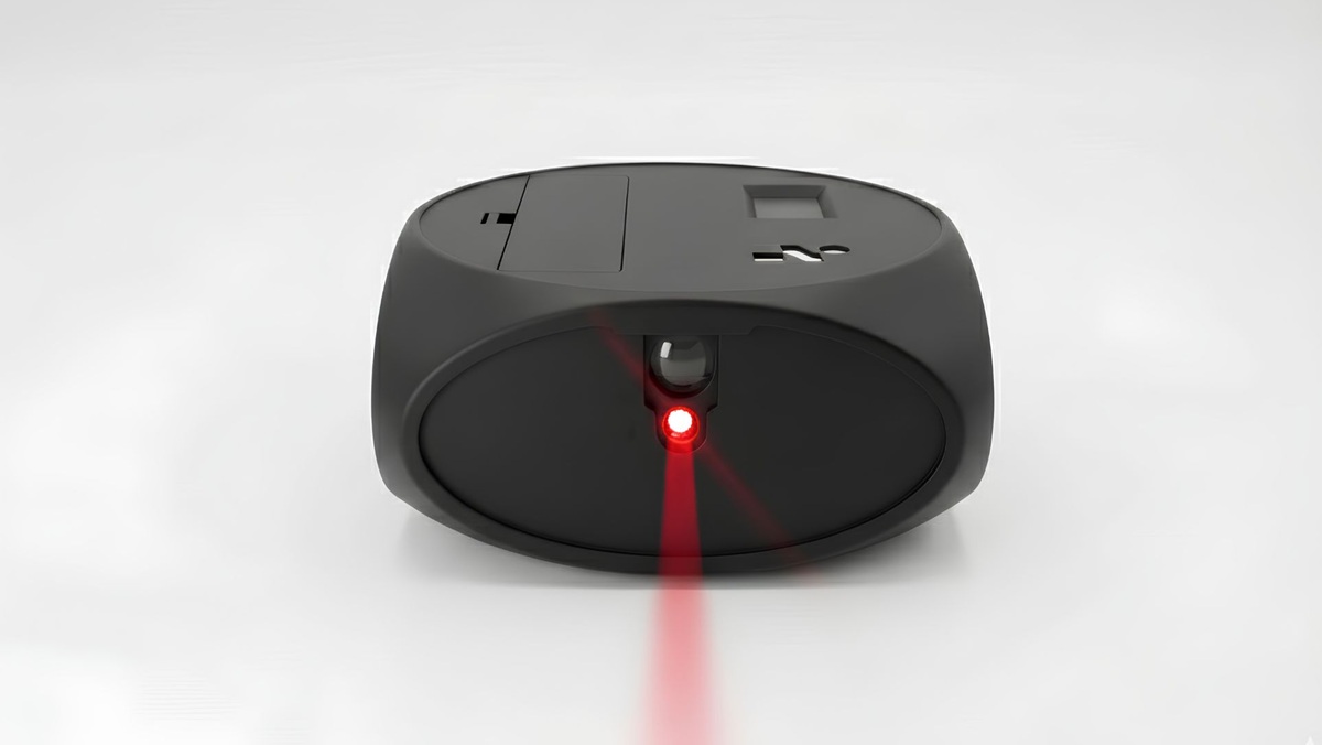
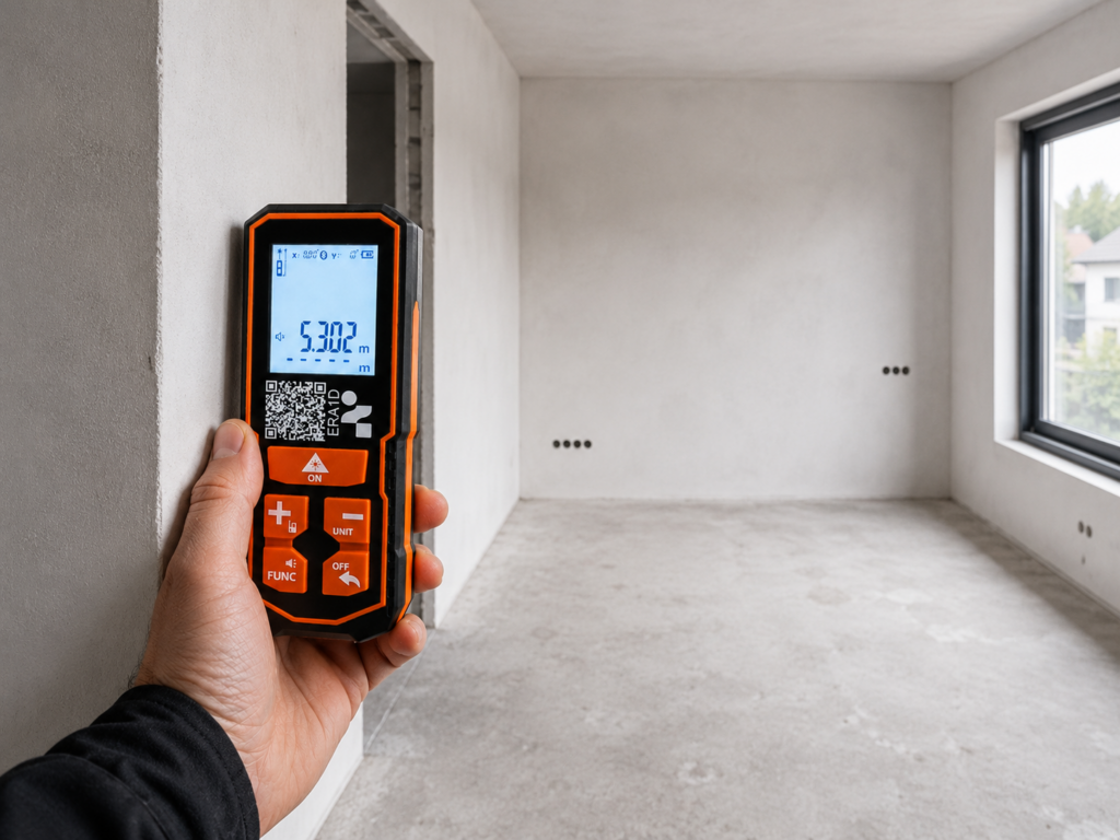
The laser distance meter is the most common laser measuring instrument. First, you aim it at a surface; then you press a button, and it shows the distance in a fraction of a second. In addition, most models calculate areas and volumes, and many keep a short memory of recent readings.
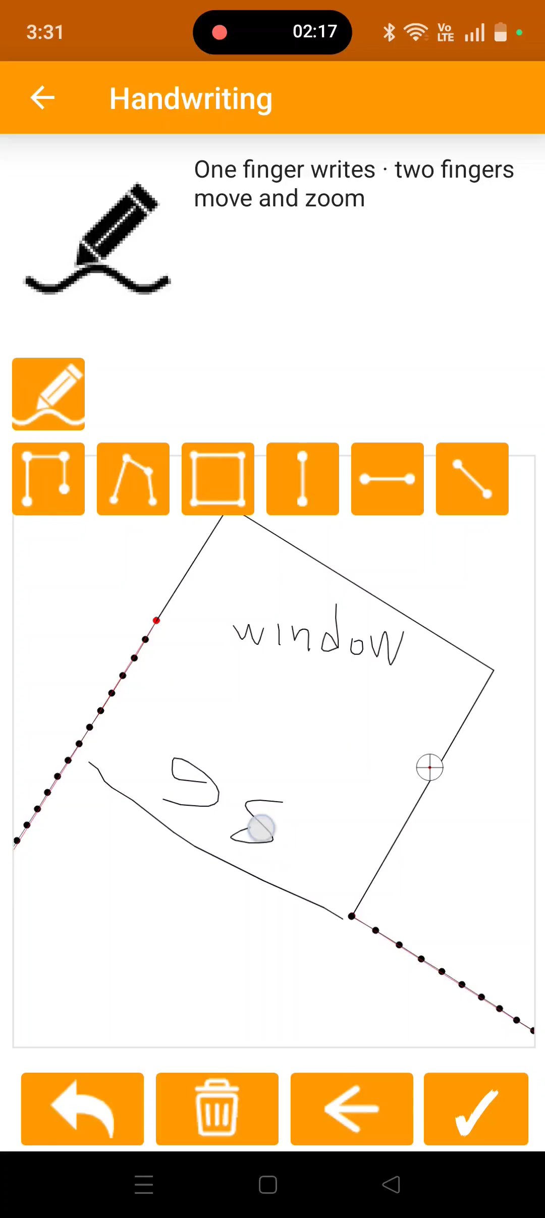
Bluetooth models go one step further and send each reading to a phone, so the numbers land in a sketch instead of on paper. The ERA1D laser distance meter with Bluetooth works this way. Even so, a distance meter only ever gives you lengths. The shape of the room, and every angle in it, still comes from your own sketch.
2D instruments: laser scanners for floor plans
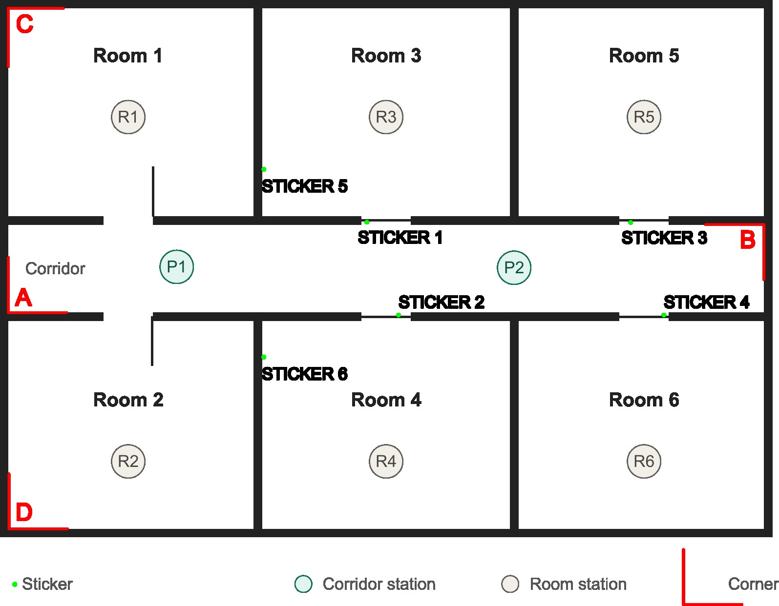
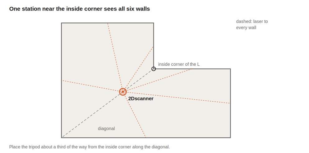
A 2D laser scanner stands on a tripod and rotates through a full circle, measuring distance and angle at fixed steps. Together, these readings then trace the outline of the room in one horizontal plane: walls, corners, recesses, columns and openings, all in their true positions.
Because it measures only the plane that a floor plan needs, the result is small and immediately usable. For example, the 2Dscanner EVO exports the plan as a DXF file that opens in CAD software, with no processing step in between. Read more in our overview of the 2D laser scanner.
3D laser measuring instruments
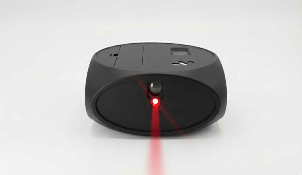
By comparison, 3D instruments add a vertical dimension. Instead of one plane, they record surfaces in every direction, so walls, ceilings, floors, pipes and furniture all appear in the data. There are four main families, and they differ a great deal in accuracy, speed and the work needed afterwards.
Terrestrial laser scanners
A terrestrial laser scanner sits on a tripod and sweeps its beam both horizontally and vertically, collecting up to millions of points per station. Next, surveyors move it between several stations and later join the scans into one point cloud. This process is called registration.
As a result, these instruments reach millimetre-level accuracy over tens of metres, which makes them the reference tool for heritage buildings, plant rooms, facades and complex geometry. On the other hand, they are the most expensive option and produce the largest files.
Handheld and mobile 3D scanners
Mobile scanners capture data while the operator walks through a building. They track their own movement as they go, a technique known as SLAM, and build the point cloud on the move. As a result, they cover large areas far faster than a tripod scanner.
The trade-off, however, is accuracy. Because the instrument estimates its own path, small errors accumulate along the route, and results are typically measured in centimetres rather than millimetres. They suit large-area documentation better than fitted interior work.
Phone and tablet LiDAR
Some phones and tablets include a small LiDAR sensor that measures depth over a few metres. Combined with the camera, apps use it to build a quick model of a room. In addition, it is fast and needs no extra hardware.
However, the sensor has a short range and its accuracy is usually a few centimetres. It works well for estimates, visualisation and early client meetings, but not for plans that a joiner will manufacture from.
Total stations
A total station combines a laser distance meter with precise angle measurement on a motorised or manual head. Instead of scanning, the operator aims at chosen points one by one and records their exact 3D coordinates.
For this reason, it is the standard instrument for setting out and site control, where a few points must be known very precisely. In contrast, it is slow for recording the full shape of a room, because every point needs its own measurement.
What 3D measurement adds, and what it asks of you
3D data shows everything, which is its strength and its cost. A point cloud has to go through several steps before it becomes a usable drawing.
- Capture from several positions so that no surface is hidden.
- Registration, which joins the scans into one coordinate system.
- Cleaning to remove people, reflections and stray points.
- Modelling or sectioning to extract plans, elevations or a BIM model.
Moreover, each step needs software and time. Therefore, 3D instruments make the most sense when the project needs heights, ceilings, elevations or a full model. When the deliverable is a floor plan, a 2D instrument reaches it directly. For a side-by-side view of that decision, see laser room scanner: 3D vs 2D.
Laser levels: a reference, not a measurement
Line lasers and rotating laser levels project a perfectly level or plumb line onto walls and floors. For example, installers use them to align tiles, cabinets, ceilings and partitions. They are essential tools, but they do not measure distance, so they never replace a measuring instrument.
Connectivity and digital workflows
Most modern laser measuring instruments no longer end at a display. Distance meters and 2D scanners connect to a phone over Bluetooth, while 3D scanners usually transfer data by cable, memory card or Wi-Fi. For background on the wireless standard itself, see the official Bluetooth technology overview.
What matters in daily work is the size and format of the result. For instance, a distance meter hands over a short list of numbers. A 2D scanner produces a plan file of a few kilobytes that you can email from site. By contrast, a 3D scan often runs to several gigabytes and needs a capable computer before anyone can open it. For this reason, the data workflow is just as important as the instrument when you compare options.
Choosing an instrument by deliverable
| What you need | Suitable instrument |
|---|---|
| A few lengths or a ceiling height | Laser distance meter |
| A measured floor plan for design or fit-out | 2D laser scanner |
| Elevations, ceilings or a full 3D model | Terrestrial 3D laser scanner |
| Fast documentation of a large building | Handheld or mobile 3D scanner |
| A quick visual model for a first meeting | Phone or tablet LiDAR |
| Precise coordinates for setting out | Total station |
| Straight, level reference lines for installation | Laser level |
Common questions
What is the most accurate laser measuring instrument?
For individual points, a total station. When you need whole surfaces, a terrestrial 3D laser scanner. Finally, for floor plans, a 2D laser scanner reaches millimetre-level accuracy at room scale with far less work.
Can a 3D laser scanner produce a 2D floor plan?
Yes. You cut a horizontal section through the registered point cloud and trace the plan from it. It works well; however, it takes processing time that a 2D scanner avoids.
Do laser measuring instruments work outdoors?
Most do, but bright sunlight reduces the range of visible lasers, and dark or wet surfaces return less light. Survey-grade 3D scanners and total stations handle outdoor work best.
Conclusion
Laser measuring instruments range from a pocket distance meter to a survey-grade 3D scanner. The right one is not the most advanced, but the one that delivers what your project needs with the least extra work: a length, a floor plan, a full model or a set of coordinates.
To see how a 2D instrument works in practice, visit 2Dscanner, watch the demonstrations on our YouTube channel, or find answers in our FAQ section and help documentation.