A scanning mapper is any system that measures a physical space and turns those measurements into a digital map. The term covers very different machines, which is why two people using it can mean two completely different outcomes — one hands you a floor plan, the other hands you a point cloud and a week of processing.
This article separates the terms: what a scanning mapper is, which scanner types sit underneath it, and what each one actually gives you at the end.
What a scanning mapper does
Strip away the wrapper and every scanning mapper does three things. It measures the distance to the surfaces around it. It records the angle of each measurement. Then it assembles those distance-and-angle pairs into a map.
File format, software and mounting are all built on top of those three steps. The one decision that changes everything downstream is how many planes get measured — it drives file size, processing time, cost, and what you can do with the result.
The scanner types behind a scanning mapper
2D laser scanners
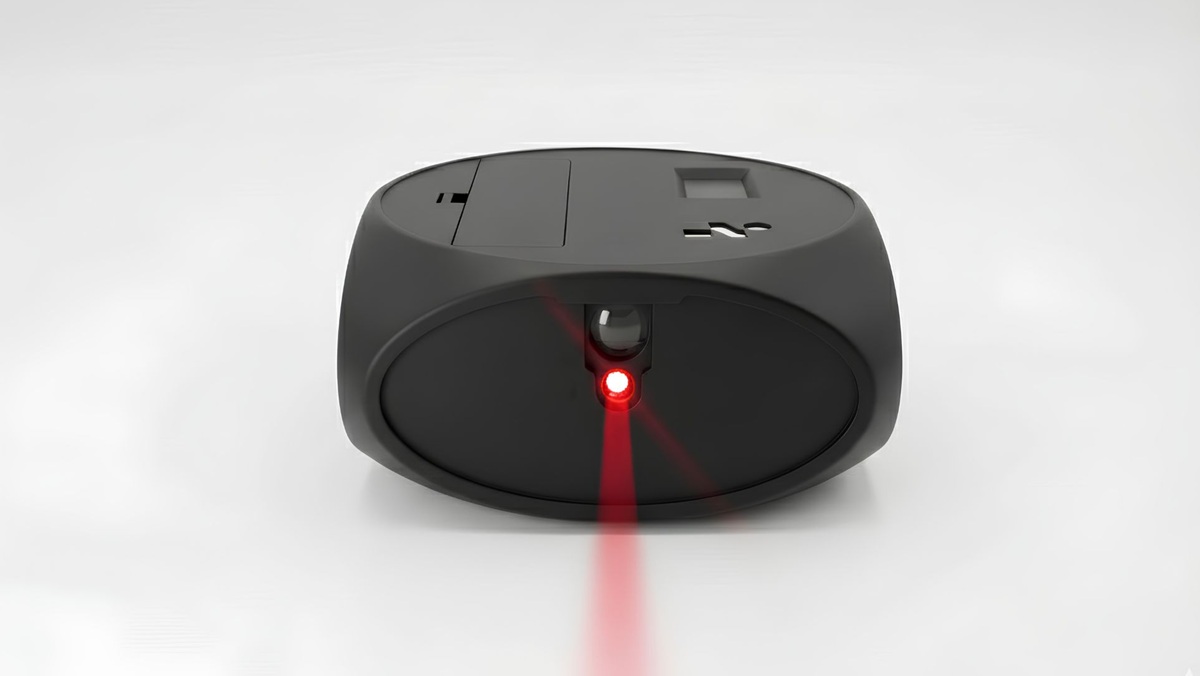
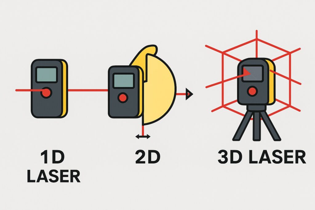
A 2D laser scanner sweeps a laser through a single plane, usually horizontal, and records the distance to whatever it hits. The result is a slice through the space: an outline, a plan view, a floor plan.
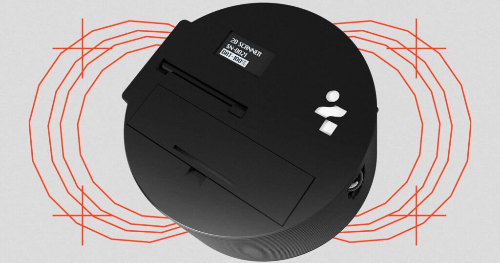
Because only one plane is measured, the data stays small and needs almost no processing. That is why 2D scanning sits underneath robot navigation, intrusion detection and interior floor plans — anywhere a flat, accurate outline is the whole job.
3D laser scanners
A 3D laser scanner measures across many planes and angles and produces a point cloud: millions of coordinates describing surfaces in three dimensions.
It captures what a plan view cannot — ceiling geometry, sloped surfaces, ductwork, mouldings, volumes. The cost sits on the other side of the workflow: large files, registration between scan positions, and software time before anyone can use the result.
Modern 2D reality-capture scanners
The third category is newer and gets confused with both. These are 2D instruments built for one job: interior documentation. They rotate, measure a full plane at high point density, and output a scaled, editable floor plan rather than a raw point cloud.
They sit deliberately between the other two — more capable than a handheld distance meter, far simpler than a 3D system.
The three types side by side
| 2D laser scanner | 3D laser scanner | Modern 2D reality capture | |
|---|---|---|---|
| Planes measured | One | Many | One, at high density |
| Typical output | 2D map or outline | Point cloud, 3D model | Scaled, editable floor plan |
| File size | Small | Large | Small |
| Processing after capture | Minimal | Substantial | Minimal |
| Height information | No | Yes | No |
| Built for | Navigation, safety, layouts | Detail, volume, documentation | Interior floor plans |
| Cost band | Low to mid | High | Mid |
What you are holding at the end
Output is the honest way to choose, because it is the only part of the decision your client ever sees.
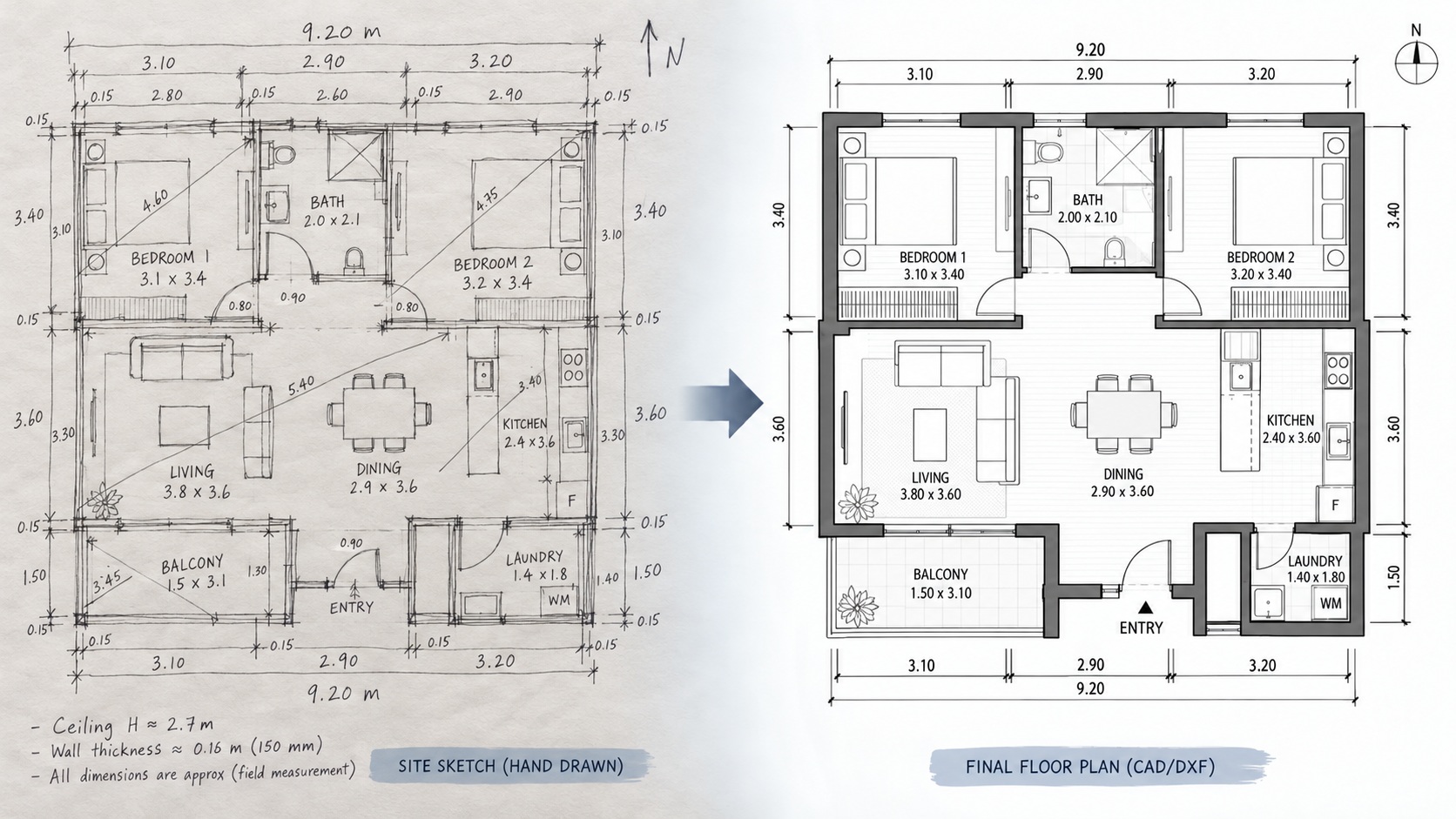
A 2D laser scanner gives you a plan. A 3D scanner gives you a model that someone still has to process. A modern 2D scanner gives you a drawing file that opens and edits directly.
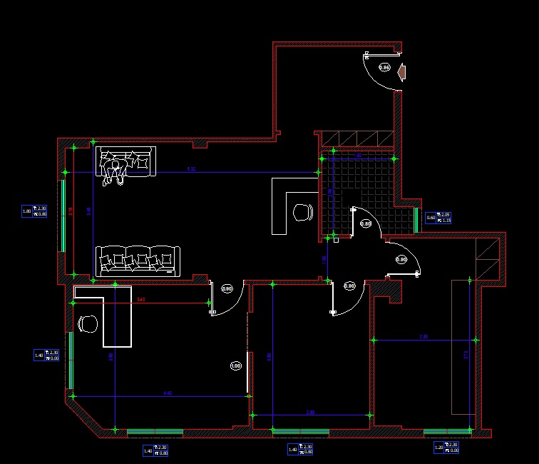
If your deliverable is a floor plan, a point cloud is not a shortcut to it. It is extra work standing between you and it.
Where each type is used
- Interior floor plans and as-built drawings — either 2D type
- Robot navigation and obstacle detection — 2D laser scanner
- Intrusion and safety monitoring — 2D laser scanner
- Architectural detail, façades, heritage recording — 3D
- Volumes, stockpiles, industrial inspection — 3D
- Renovation and fit-out measurement — modern 2D reality capture
- Reverse engineering of parts — 3D
Choosing the type your work needs
Three questions settle it more reliably than any spec sheet.
Does your deliverable have height in it? If not, a single plane is enough and everything beyond it is cost.
Will anyone actually process the data? A point cloud with nobody to process it is a liability, not an asset.
How often will you do this? Occasional detailed capture can be subcontracted. Weekly floor plans should be a tool you own.
Common questions
Is a scanning mapper the same as a laser distance meter?
No. A distance meter measures one line at a time and leaves you to position each reading yourself. A scanning mapper measures many points and positions them relative to each other automatically.
Can a 2D scanner produce a 3D model?
No. It captures a single plane. If you need height information, you need a different instrument.
Do I need CAD training to use the output?
For 2D outputs, usually not — the file opens in standard CAD software as lines you can edit. For point clouds, budget real training time.
In short
Scanning mappers, 2D laser scanners and 3D laser scanners all turn physical space into digital data, but they do not hand you the same thing. Choose by the output you need, not by the number of dimensions in the brochure. For interior work that ends in a floor plan, a single plane covers more ground than most people assume.